Aerial Mapping
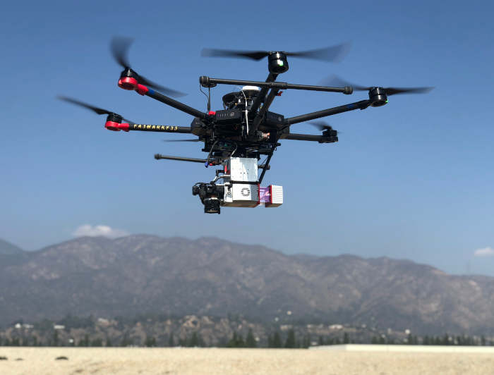
Experience a bird’s eye view with our Matrice 600 Pro drones, aerial LiDAR and cameras. Obtain images over a large area of terrain from high altitudes with our equipment available to rent or serviced by our licensed sUAS pilots.
HTS-Mapping Services: Experts in Aerial Mapping
Recent Project – Ouray, CO


The HTS Mapping team recently carried out an Aerial LiDAR Scan in Ouray, CO. using a Velodyne 32e on a Matrice 600 Pro with an X3 camera. It covers approximately 400 acres at altitudes from 8,500′ – 10,500′.
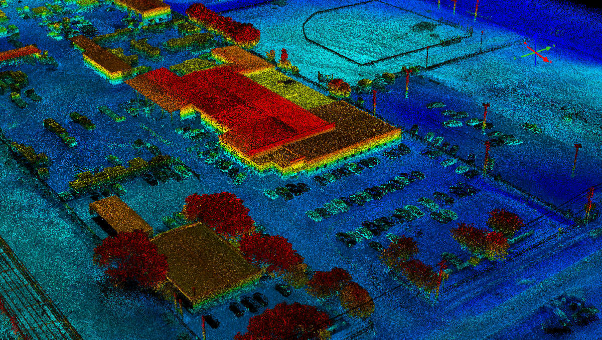
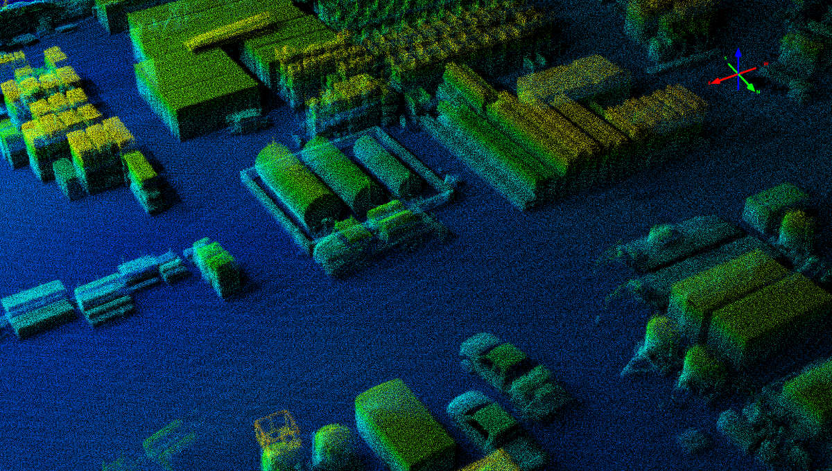
Aerial LidAR Data over As-built Construction / Buildings