Services
HTS Mapping has the equipment, people, knowledge and contacts to fully tailor a solution for all of your aerial and vehicle mapping and photogrammetry projects. With more than 20 years experience and a global support team available 24 hours a day, 7 days a week, we are just a phone call away.
If you don’t have the equipment or are not sure about using it efficiently to obtain to most accurate results let us carry it out for you. HTS can provide licensed drone (sUAS ) pilots and along with equipment including Matrice 600 Pro sUAS, LiDAR USA’s Snoopy A-Series, Zenmuse Cameras and AeroPoints GCPs.
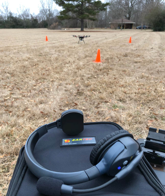
HTS Mapping Services: Working with a drone in the field
With data collected via aerial and/or vehicle mapping, we can create orthomosaic maps; digital elevation, surface and terrain models; and 3D Point Cloud.
Orthomosaic Map
Many photos are combined together to create this type of detailed, accurate, true-to-scale, orthorectified area map. This aerial photography gives a true surface depiction of distance since topographic relief, lens distortion and camera tilt have all been adjusted.
Digitial Elevation Model
Digital elevation model (DEM) represents surface relief through measurement between points of elevation. Images are captured through photogrammetry and LiDAR and AeroPoints Ground Control Points (GCP’s) are used to filter out man-made and natural non-ground points that aren’t depicted in this bare-earth type of elevation model.
Digital Surface Model
Similar to a DEM, LiDAR is used to create a Digital surface model (DSM); however, a DSM includes man-made and natural features while a DEM does not.

Digital Terrain Model
Digital terrain models (DTM) are created through photogrammetry and shows specific terrain features very clearly.
3D Point Cloud
Produced by 3D scanners, a 3D point cloud provides high-resolution data, measuring a large series of data points in a given space.
